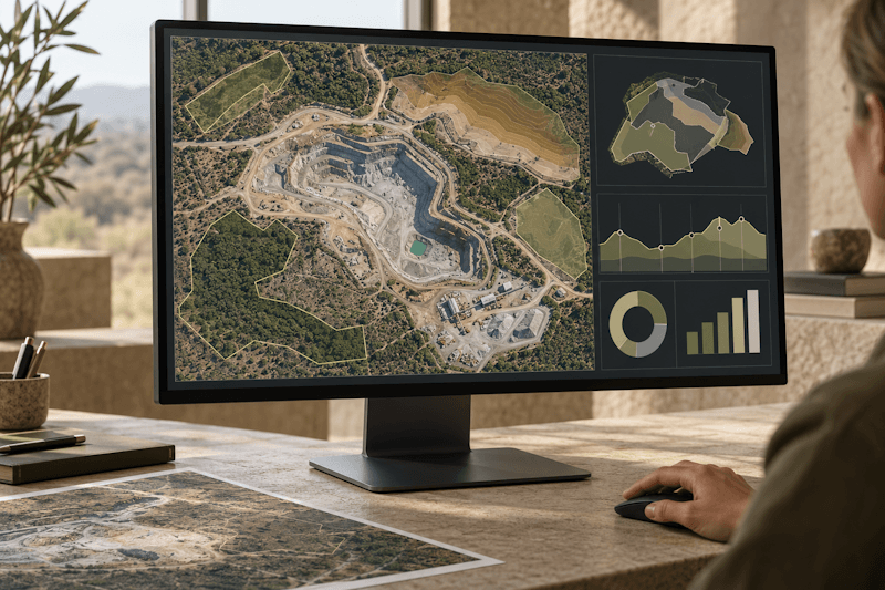
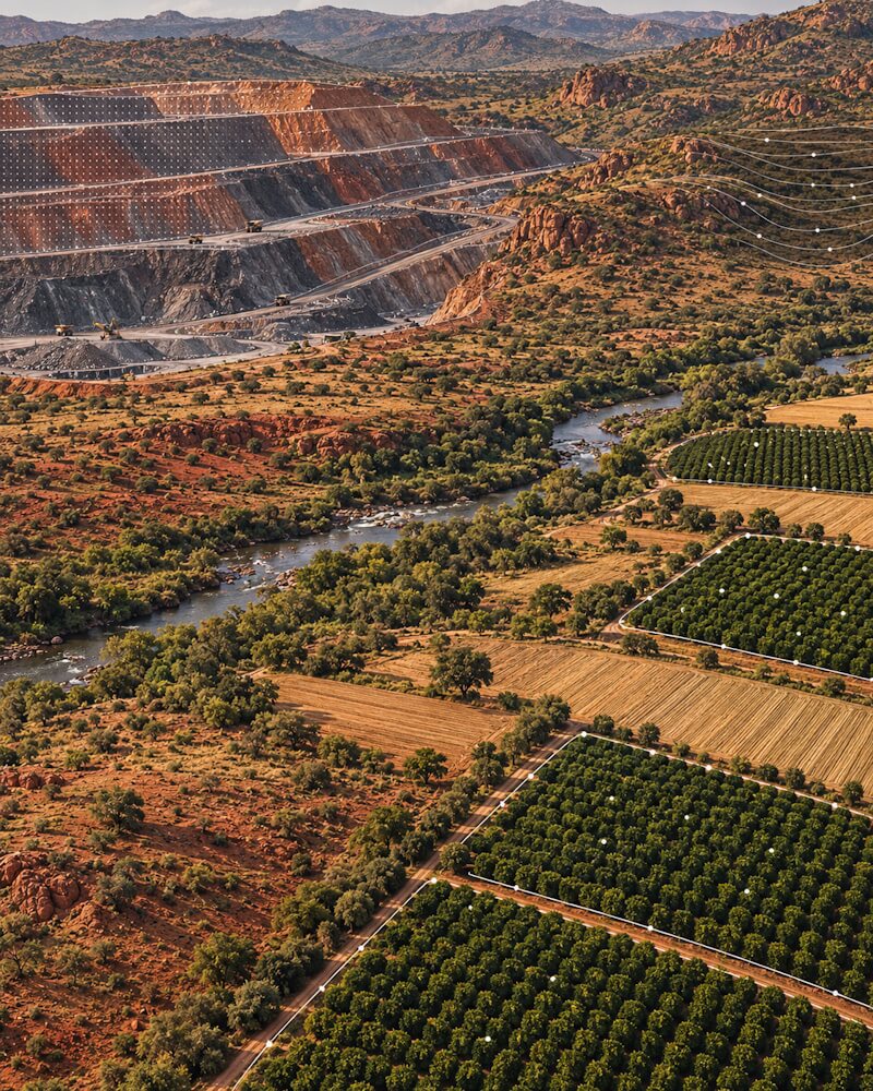
Bringing together advanced drone technology, engineering expertise and data analytics to transform complex operational data into actionable insights — helping organisations gain deeper visibility into their sites, assets and operations.
A photograph can show you a site. The right data, interpreted in context, can help you understand it.
Aeroveld is a South African technology company developing an integrated approach to aerial data capture, data management and visual reporting.
We start with the question your business needs to answer, then identify the information and approach best suited to it.

Aerial imagery, video and site information tailored to your operational objectives — focusing on the assets, conditions and details that matter most to your business.

Connecting captured information with relevant business data, practical analysis and clear visual reporting to help you understand operational conditions, identify opportunities and make informed decisions about what comes next.
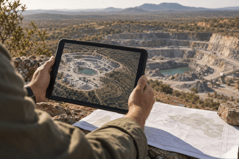
Every project begins with understanding the challenge. We then plan an appropriate approach to capture and interpret relevant information, with outputs designed to support your business objectives and decisions.
We work to understand your business objectives, site conditions and operational context — defining the key questions to answer and the information needed to address them.
We assess project feasibility, site access, equipment, permissions and operational requirements to determine an appropriate approach to data capture, processing and analysis.
We organise and interpret the captured information, presenting relevant findings through clear reporting, visual analysis and tailored outputs aligned with your business questions and decision-making needs.
Founded by Steffan and Wern van Molendorff, Aeroveld brings together enterprise data expertise, engineering experience and practical knowledge of industrial environments. This combination shapes an approach that connects technology with real-world challenges — turning complex information into meaningful insights that support better-informed decisions.
Bringing extensive enterprise software development and data analytics experience to Aeroveld, with a background in SAS solutions, data integration and business intelligence. Focused on connecting complex data with meaningful visual insights to help organisations better understand their operations and make informed, data-driven decisions.
Bringing approximately 20 years of experience in engineering and heat exchanger manufacturing across diverse industrial sectors, complemented by extensive Health & Safety experience in mining and industrial environments. This practical industry knowledge helps inform Aeroveld’s approach to asset monitoring, infrastructure observation and the development of solutions aligned with real-world operational requirements.
Aeroveld combines advanced aerial data capture, engineering expertise and data analytics to help organisations gain deeper insight into their sites, assets and operations — transforming complex information into meaningful insights that support better-informed decisions.
Aerial data can support a wide range of applications across mining, agriculture, energy, infrastructure and coastal operations. Aeroveld takes a purpose-driven approach to every project, starting with your business objectives and identifying the relevant information, capture methods and analytical techniques to help deliver meaningful insights.
Yes. Aerial imagery and observations can be integrated with relevant existing business data to support deeper analysis, visual reporting and more informed decision-making. Aeroveld’s approach is tailored to your systems, data sources and project objectives, helping transform information from different sources into a more meaningful view of your operations.
Tell us about your site, assets or operational challenges. Together, let’s explore how aerial data, engineering insight and analytics could help you gain a clearer understanding of your operations and make more informed decisions.